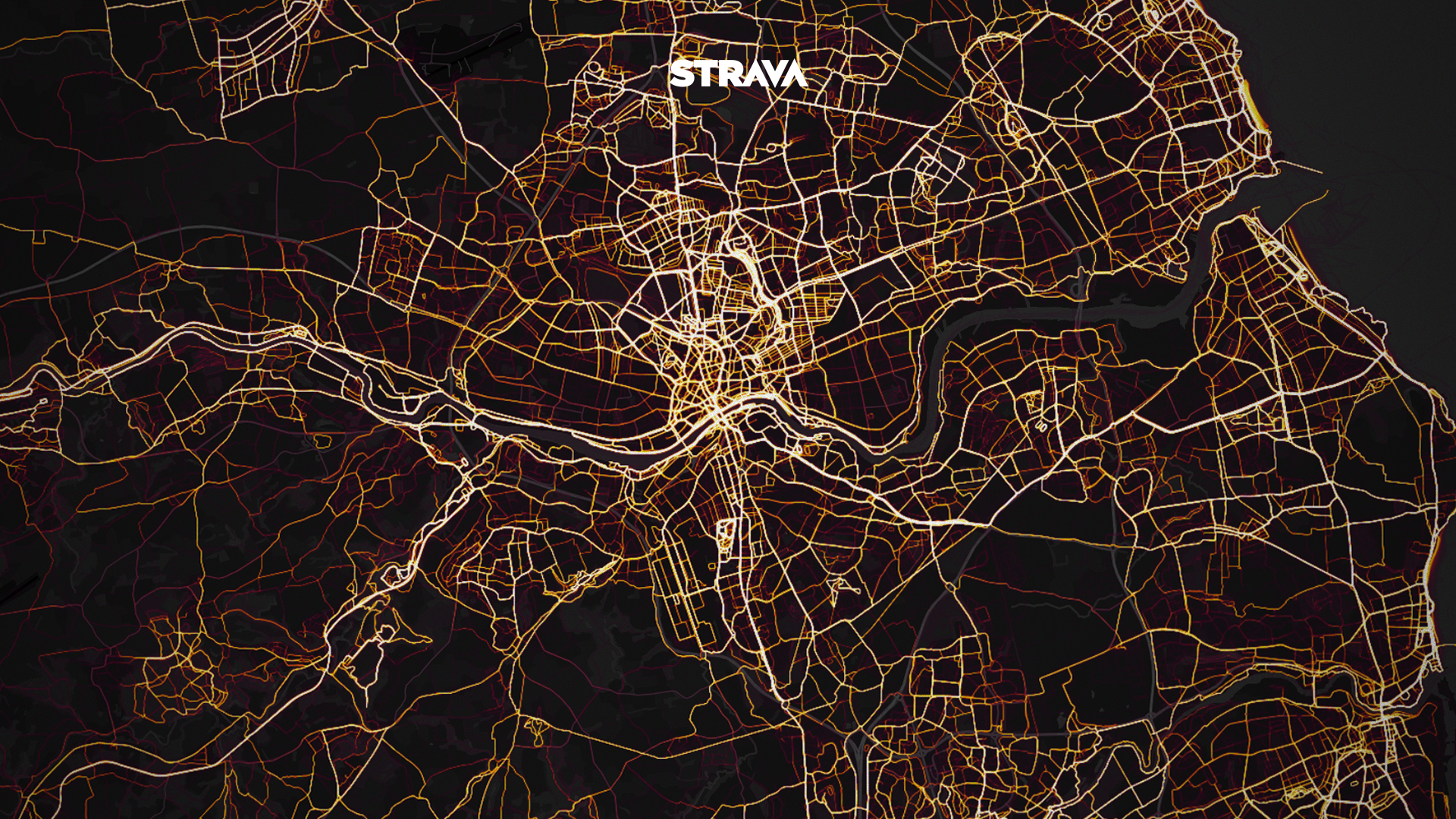
Strava has unveiled its Global Heatmap, an interactive data visualisation featuring more than one billion activities from Strava athletes across the globe.
The data visualisation tool provides a broad look at activities, popular routes and sport destinations around the world.
The Strava community has generated more than 200,000 years’ worth of activity that cover nearly 17 billion miles.
The Strava Global Heatmap is the biggest and richest publicly available dataset of its kind and consists of:
- Over 1 billion activities from over 10 million athletes
- A total distance of 27 billion km (17 billion miles)
- A total duration of 200,000 years
- 5% of all land on Earth covered
“A global community can seem very abstract until you see its activities visually represented in your immediate location and across the world,” says Strava CEO James Quarles. “It’s not just runners and cyclists, either – skiers, hikers, kiteboarders and even mountaineers on Everest are all counted in the more than 1 billion uploads of the Strava community.”
Visit the new Strava Global Heatmap here and see activities from any location on the planet.
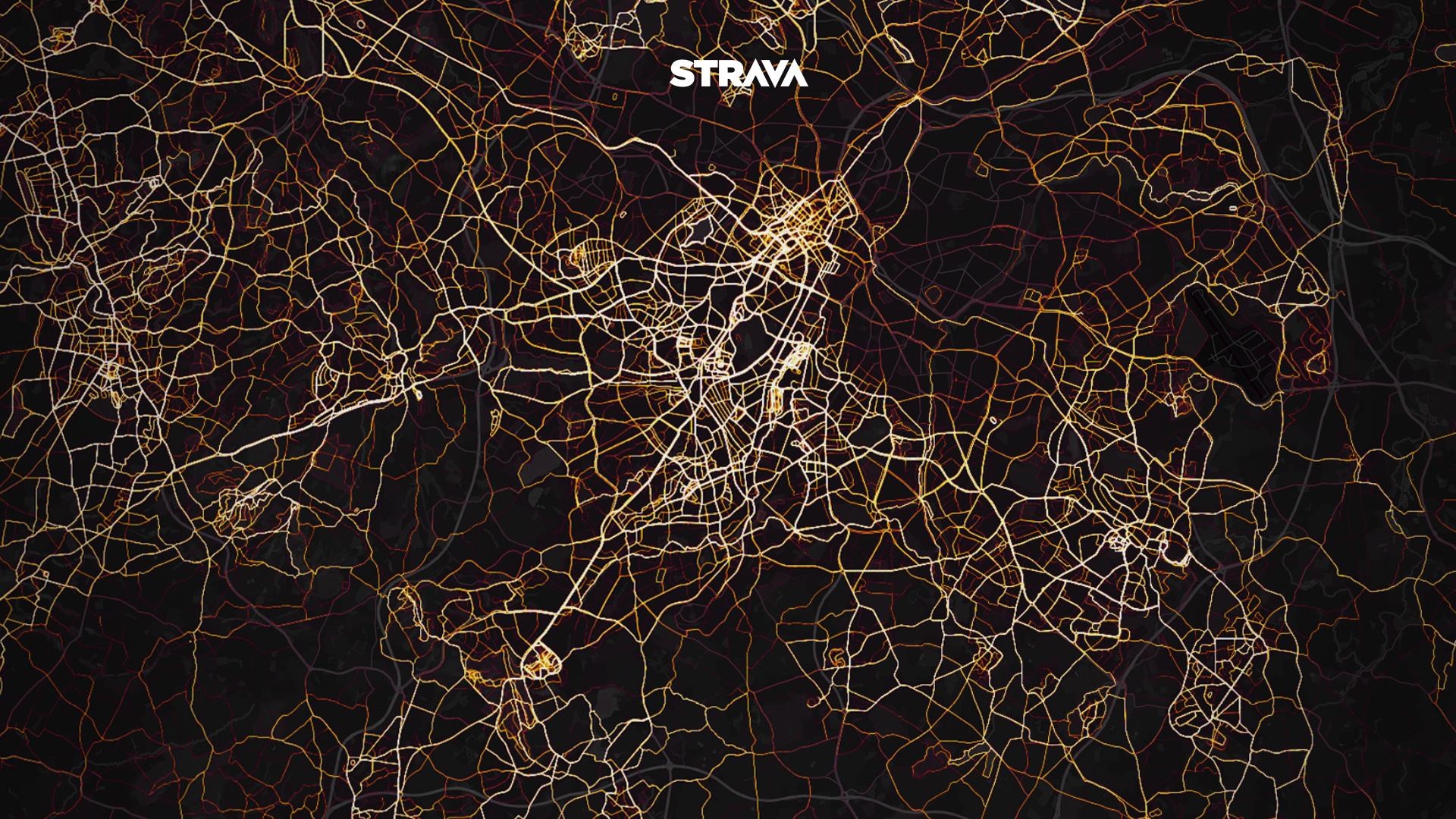
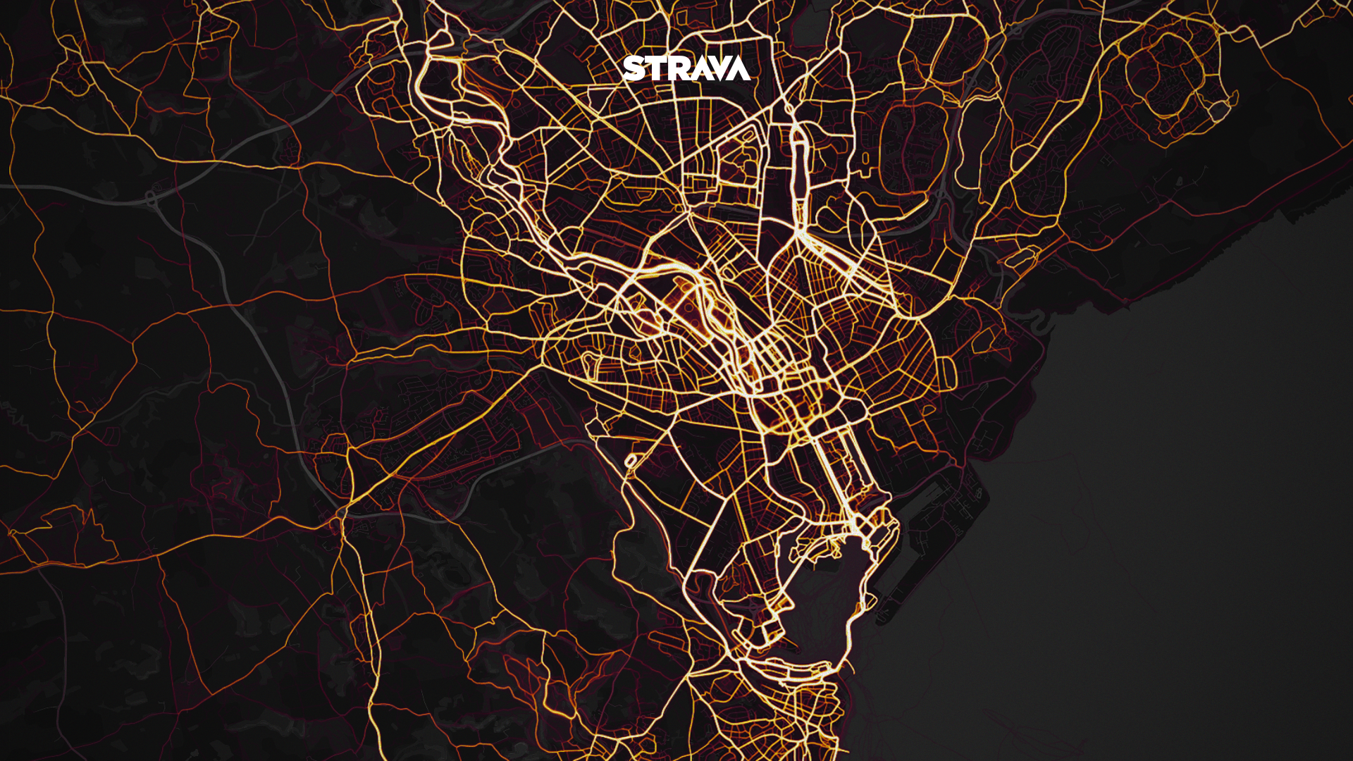
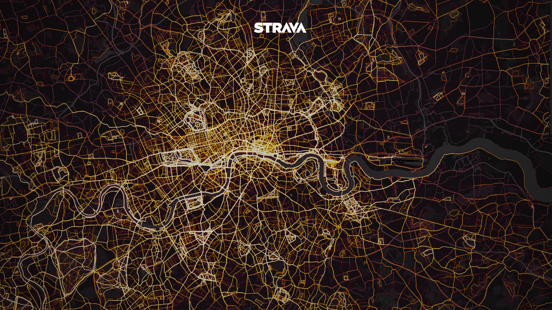
Alternatively, check out the running maps from six major UK cities below:
Birmingham Heatmap
Cardiff heatmap
Edinburgh heatmap

London heatmap
Manchester heatmap
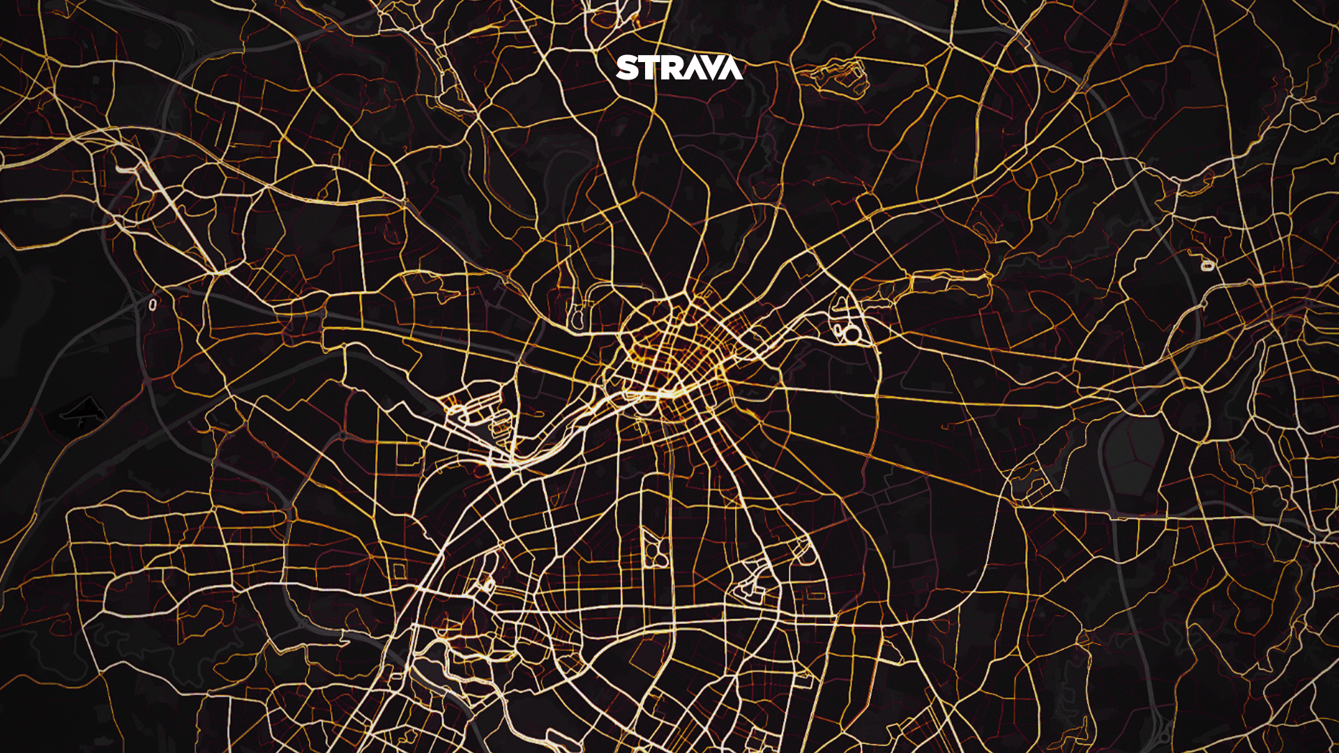
Newcastle heatmap
Download Strava for iOS or Android and upgrade to Strava Premium to access advanced features. To learn more about Strava, visit strava.com.